 Go back

Eric Fischer
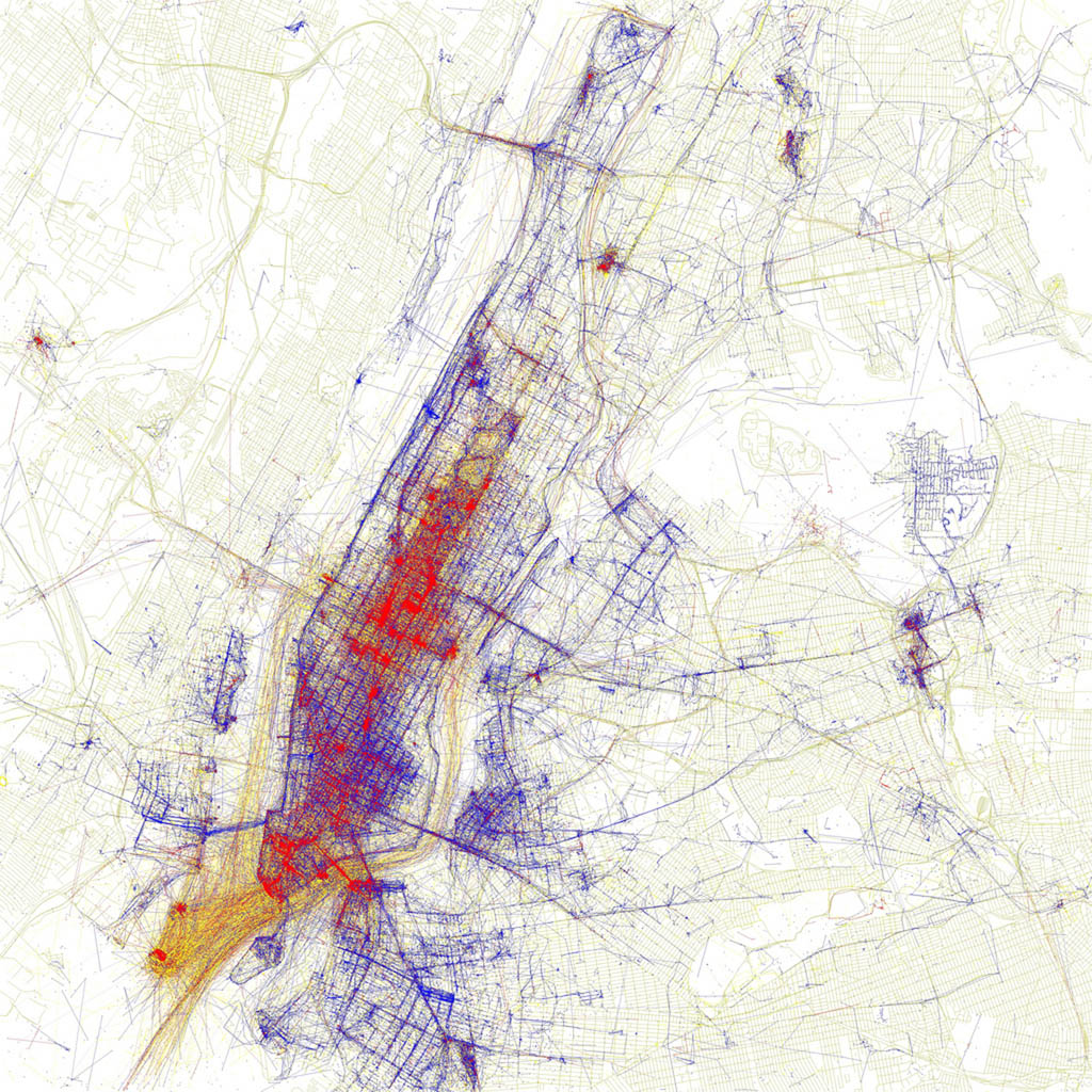
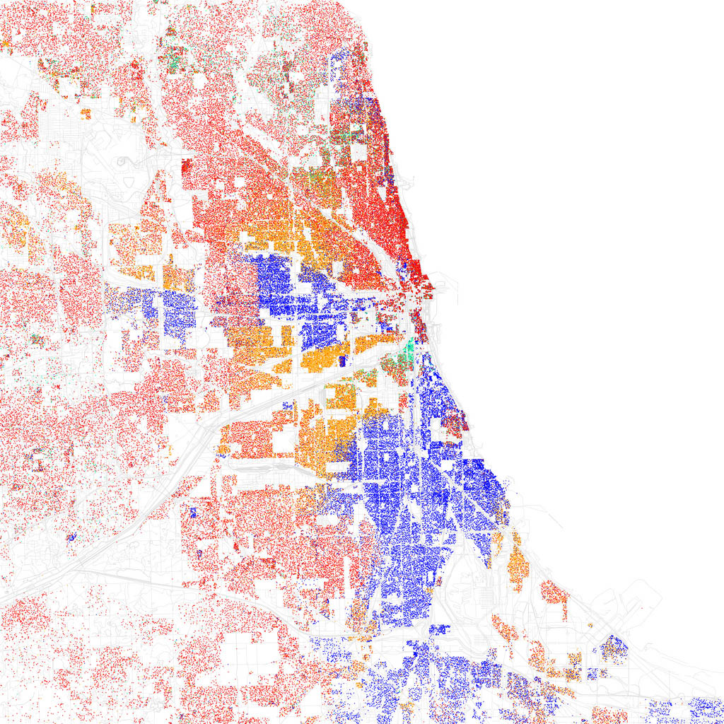
ArtistEric Fischer is an American artist, software developer and data visualisation specialist known for using code and publicly available datasets to create maps that reveal patterns in urban life. His work draws on sources such as geotagged photographs, social media posts, census records and transport data to explore how people move through cities, where they gather and how urban spaces are experienced. His projects have been featured in the Museum of Modern Art’s Talk to Me exhibition and in publications including Wired. Fischer has also contributed to digital mapping tools and technologies, combining programming and cartography to make complex datasets visually accessible.
Uses urban data to make some of the web’s most intriguing spatial images. One of Fischer’s latest sets is called “Paths through cities”. For each map Fischer routed 30,000 random trips based on 10,000 random geotags. Fischer says he’d hoped to figure out “what a subway network that tried to serve as many origins and destinations as possible, without taking into account other practical considerations, would look like”. The work is notable for its aesthetic as much as for its information: at a glance the stripped-down, black-and-white maps resemble cracks on a city sidewalk more than a city itself.